Today is part 2 of our walk along the Adige in Verona; all the photos taken today were taken on a different day than the ones in Part 1. That will be immediately obvious, I think, since the sky is a very different color, and the buildings indicate we’re in a different part of the city.
Here’s the map of Verona again in order to get your bearings:
Today’s photos cover a section of the walkway on the western bank of the Adige, from just south of the Ponte di Castelvecchio to the Ponte Garibaldi.
Have I ever mentioned anything about the history of the bridges in Verona? As you can see from the map, there are six bridges that cross the Adige that lead into (and out of) the old city center. Verona was occupied by the Nazis in WWII. As the Allies approached, the Nazis retreated … but on their way out they blew up all of the bridges in Verona. After the war, there was a project to rebuild every one of the bridges to the original design, using the original stones that were retrieved from the debris in the Adige. So, when you see a bridge in the photo, keep in mind that it really is a living monument to the idea that “everything old is new again”.
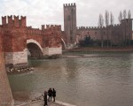
- Ponte di Castelvecchio – bridge that connects to the Castel Vecchio
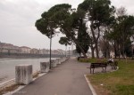
- Looking toward San Zeno Church, Verona
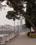
- Looking toward San Zeno – detail
- On the Ponte di Castelvecchio
- Friendly Tourist on the Ponte di Castelvecchio
- Turrets, Ponte di Castlevecchio
- Turrets of the Ponte di Castelvecchio
- Pigeon posing on a turret of the Ponte di Castelvecchio
- Ponte di Castelvecchio
- Castle Vecchio and the Adige
- Kayakers along the Adige
- Statue Detail, Ponte Vittoria
- Looking North from the Ponte Vittoria
- Ponte Garibaldi, Verona




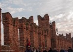
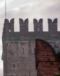
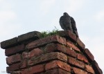


I remember the Ponte di Castelvecchio because its turrets make it unique. It is also a cute little bridge and looks good from any angle or any distance. My favorite shot was the first close-up of the turrets with just the heads of people also visible. I like the massive aspect of all those brick turrets blending into one another and the interesting angles that the top bricks make. I had forgotten that all the bridges were bombed and rebuilt. What a great job they did!
Thanks for all the comments, Stan! Those bricks on that bridge do make for interesting photos. 🙂
lovely place and the pictures are great!